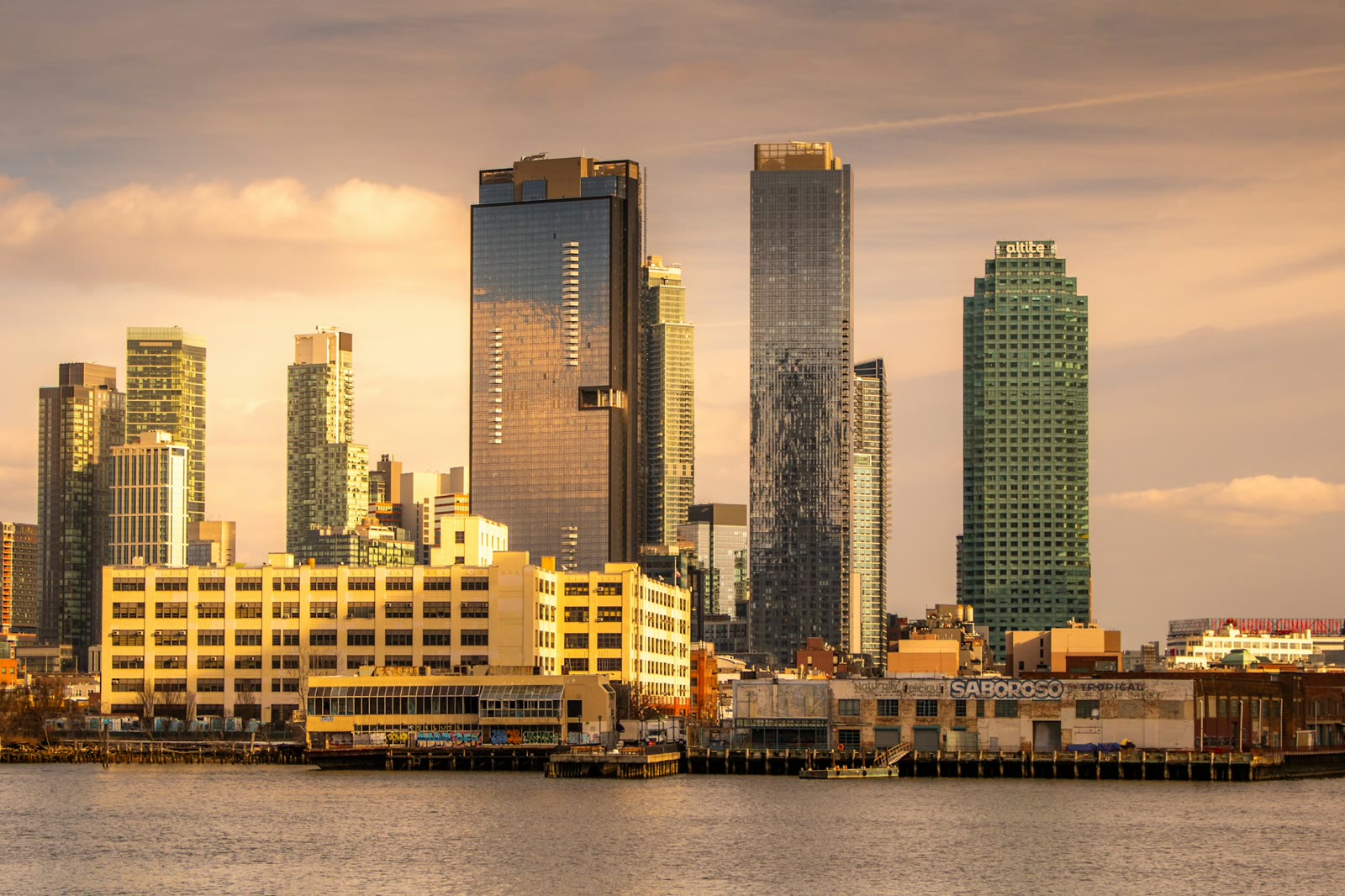
Which part of Long Island City is the listing in?
The boundaries are loose. The city's planning department lists Long Island City in two community districts. One also covers Hunters Point, Blissville, Sunnyside and Woodside. The other also covers Astoria, Dutch Kills, Queensbridge and Ravenswood. StreetEasy, a listings site, treats Long Island City as one area. Look at the actual address and the nearest train, not the neighborhood name.
How much is rent?
These are StreetEasy's median asking rents for October 2026. Asking rent is what landlords list, not what tenants end up paying.
| Area | 1-bedroom | 2-bedroom |
|---|---|---|
| Long Island City | $4,380 | $6,500 |
| Queens overall | $2,900 | $3,600 |
| Manhattan overall | $4,936 | $6,395 |
The median one-bedroom in Long Island City lists for about $1,480 more than the Queens median. The median two-bedroom lists for $105 more than Manhattan's. See the full rent history.
Which trains run through Long Island City?
- 7 at Vernon Blvd-Jackson Av, Hunters Point Av, Court Sq and Queensboro Plaza. Vernon Blvd-Jackson Av is the last stop before Grand Central-42 St in Manhattan.
- E at Court Sq-23 St and Queens Plaza. In Manhattan its first stop is Lexington Av/53 St. The F also stops at both stations on weekdays until 9:30 p.m.
- G at Court Sq, where it starts, and at 21 St. It runs to Brooklyn without going through Manhattan.
- M at 21 St-Queensbridge. The next stop is Roosevelt Island, then Lexington Av/63 St.
- R at Queens Plaza. It doesn't run late at night.
- N and W at Queensboro Plaza and 39 Av. The W runs on weekdays only.
Court Sq and Court Sq-23 St are one connected station, where you can change between the 7, E and G. Service often changes on weekends and late at night, so check the line map for the hours you'd actually travel.
Two NYC Ferry routes stop here. The East River route stops at Hunter's Point South, 54th Avenue on 2nd Street, and runs to East 34th Street and Wall Street/Pier 11. The Astoria route stops at 46th Avenue and Center Boulevard, and runs to East 34th Street, East 90th Street and Wall Street/Pier 11.
What are the buildings like?
These numbers are for the planning district that covers Hunters Point, Sunnyside and Woodside, so they mix several areas. By land area, industrial and manufacturing use is the largest share, at about a fifth, according to the city's planning department. Parks and open space come close behind. Among homes, one- and two-family houses cover the most land, then walk-ups, then elevator buildings.
The building type matters for your rent.
- A building built in 1974 or later is less likely to be rent stabilized. Stabilized apartments are most often in buildings with six or more units built before 1974. Ask the broker directly.
- A house with two or three apartments is usually not stabilized.
- A walk-up has no elevator. Ask which floor the apartment is on before you go.
Here is how to check if an apartment is stabilized.
Where are the parks?
- Hunter's Point South Park, on Center Boulevard between 50th Avenue and 2nd Street, is about 23 acres on the East River. It has a dog run.
- Gantry Plaza State Park, at 4-44 47th Road, is a 12-acre state park on the river with a playground, a playing field and basketball courts.
- Queensbridge Park, by the Queensboro Bridge between the East River, Vernon Boulevard and 21st Street, is about 21 acres.
Is it safe? Will I like it?
We don't rate neighborhoods on that. Judge the block yourself.
- Visit on a weekday evening and on a weekend, not just at the showing.
- Walk from the train you'd actually use to the front door, and time it.
- Stand outside for ten minutes. Listen for street noise, and for the elevated train if the building is near it.
- Ask someone who lives on the block what they like and what they'd change.
What should I text the broker?
Hi, I'm interested in [address, apartment]. Which train station is closest, and which lines stop there? What year was the building built, and is this unit rent stabilized? Thanks.
This is general information. Rents and train service change, so check the sources below before you plan around a number.
Sources
- StreetEasy Data Dashboard, median asking rent: October 2026 median asking rents for one- and two-bedrooms in Long Island City, Queens and Manhattan, and the area name StreetEasy uses
- MTA, 7 line map: 7 stations at Vernon Blvd-Jackson Av, Hunters Point Av, Court Sq and Queensboro Plaza, next to Grand Central-42 St; transfers to the E and G at Court Sq and the N and W at Queensboro Plaza
- MTA, E line map: E stations at Queens Plaza and Court Sq-23 St, then Lexington Av/53 St; F weekdays until 9:30 p.m.; R at Queens Plaza
- MTA, G line map: G stations at Court Sq, the end of the line, and 21 St
- MTA, M line map: M stations at 21 St-Queensbridge, Roosevelt Island and Lexington Av/63 St
- MTA, R line map: R runs all times except late nights
- MTA, N line map: N stations at 39 Av and Queensboro Plaza; W weekdays only
- NYC Ferry, East River route: Hunter's Point South landing at 54th Avenue on 2nd Street and the route's other landings
- NYC Ferry, Astoria route: Long Island City landing at 46th Avenue and Center Boulevard and the route's other landings
- NYC Department of City Planning, Queens Community District 1 profile: neighborhoods in the district, including Long Island City, Astoria, Dutch Kills, Queensbridge and Ravenswood
- NYC Department of City Planning, Queens Community District 2 profile: neighborhoods in the district and land use by share, including industrial, open space, one- and two-family, walk-up and elevator buildings
- NYC.gov, Rent Stabilization: stabilized apartments are most often in buildings with six or more units built before 1974
- NYC Parks, Parks Properties (NYC Open Data): locations and acreage of Hunter's Point South Park (22.809 acres) and Queensbridge Park (20.863 acres)
- NYC Parks, Dog Runs (NYC Open Data): Hunters Point South Park Dog Run
- New York State Parks, Gantry Plaza State Park: address, 12 acres, playground, playing field, basketball courts